 PIFSC RSS Feed
- An error has occurred; the feed is probably down. Try again later.
Tag Archives: ecospatial information team
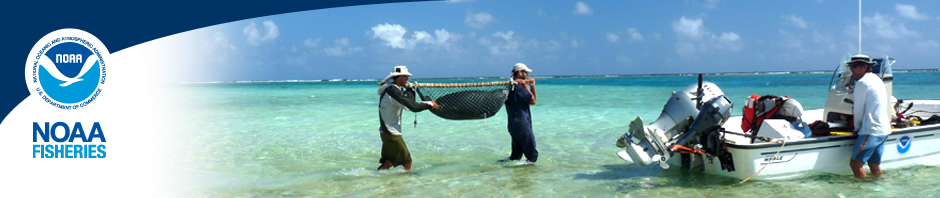
Seafloor Mapping Mission Part 2: Hawai‘i Island
By John Rooney Our seafloor mapping mission began in early May with underwater video and photographic surveys of coral reef habitats along the shores of West Maui, as documented in Seafloor Mapping Mission: Maui. The second part of this mission, … Continue reading
Posted in coral reef ecosystem
Tagged Alenuihaha Channel, Chad Wiggins, Coral Reef Ecosystem Division, CRCP, CRED, ecospatial information team, GoPro, Hank Lynch, Hawaii Division of Boating and Ocean Recreation, Hawaiian Islands Humpback Whale National Marine Sanctuary, John Rooney, Kawaihae Harbor, Kristin Golmon, M/V Koholā, M/V Kākū., mapping, NOAA Coral Reef Conservation Program, NOAA Habitat Blueprint, Pacific Islands Fisheries Science Center, PIFSC, Porities compressa, Rhonda Suka, seafloor, SplashCam, State of Hawai‘i Division of Aquatic Resources, The Nature Conservancy Hawai‘I, TNC, TOAD, towed optical assessment device, underwater photography, underwater video, West Hawaii, West Maui, whale shark
Comments Off on Seafloor Mapping Mission Part 2: Hawai‘i Island
Seafloor Mapping Mission: Maui
By Kell Bliss On 1 May 2015, four members of the EcoSpatial Information Team (ESI) in the Coral Reef Ecosystem Division, of NOAA’s Pacific Islands Fisheries Science Center, traveled to Maui to begin the first part of a two-part field … Continue reading
Posted in coral reef ecosystem
Tagged acoustic, bathymetry, Carmen DeFazio, coral cover, Coral Reef Ecosystem Division, CRED, ecospatial information team, ESI, Hawai‘i Institute for Marine Biology, Hawaiian Islands Humpback Whale National Marine Sanctuary, Honolua Bay, John Rooney, Ka`anapali, Kell Bliss, Kristin Golmon, Lahaina, Lahaina Harbor, LiDAR, M/V Koholā, mapping, Maui, multi-beam, NOAA Biogeography Program, NOAA Coral Reef Conservation Program, NOAA Corps, NOAA Habitat Blueprint, Pacific Islands Fisheries Science Center, PIFSC, Rhonda Suka, sea floor, State of Hawai‘i Division of Aquatic Resources, The Nature Conservancy, TOAD, towed optical assessment device, U.S. Army Corps of Engineers, U.S. Geological Survey, underwater camera
Comments Off on Seafloor Mapping Mission: Maui
Researchers survey a high-priority coral reef area off Maui
By John Rooney A team of scientists from the Coral Reef Ecosystem Division (CRED) of the NOAA Pacific Islands Fisheries Science Center on Tuesday began a mission to conduct acoustic and optical surveys of the waters of coral reef ecosystems … Continue reading
Posted in coral reef ecosystem
Tagged AHI, bathymetry, benthic habitat, camera sled, Coral Reef Conservation Program, Coral Reef Ecosystem Division, CRCP, CRED, Department of Land and Natural Resources, depth, DLNR, ecospatial information team, John Rooney, Kahekili, map, mapping, Maui, multibeam, National Geophysical Data Center, NGDC, Oahu, optical, Reson 8101ER multibeam echosounder, School of Ocean and Earth Science and Technology, SOEST, sonar, TOAD, towed optical assessment device, U.S. Geological Survey, University of Hawai`i at Mānoa, USGS
Comments Off on Researchers survey a high-priority coral reef area off Maui
